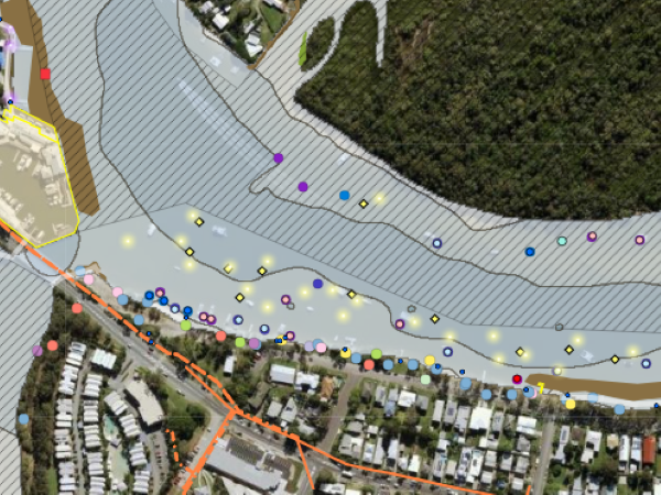
Noosa River Interactive Mapping
Developed by NICA the Noosa River Interactive Mapping Application (NRIMA) is a spatially accurate web-based GIS mapping tool that incorporates a myriad of social, commercial, infrastructure, environmental and other demands on the Noosa River system.