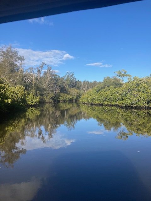
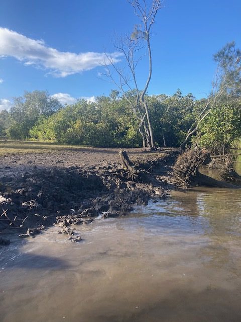
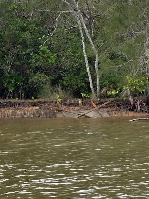
Crew reported well, discussed latest Covid-19 guidance and resolved to head out into slightly ominous weather. Turned upstream for the first time in over a month, heading directly to the North Shore Ferry Crossing. From there navigated approximately 1km up Wooroi Creek to examine shorelines and hazards. Noted area of heavily eroded riverbank (see photograph) then returned to main river channel. Proceeded to upstream end of second ski run, stopping at multiple points along southern shoreline (Moorindil Reserve) to collect accumulated rubbish (Moorindil Bend a natural trap for waterborne rubbish through wind and tide). Lashing rain encouraged an early return including stops along northern shoreline to investigate fallen sign and errant paddle ski (see photograph). Noted area of burnt vegetation, whether deliberate or not, along northern shoreline of first ski run, upstream from Fire Station. Returned to NYC to wash boat, and fit new cover with Bruce McConkey’s assistance.
Visual water quality in lower estuary improving, sediment suspended, visibility less than 1.5m depth. No obvious algae accumulations, invasive weed extent along North Shore (primarily Groundsel Bush along First Ski Run and Singapore Daisy along Second Ski Run) as previously noted, further erosion of shoreline along Second Ski Run evident. Light boat traffic for holiday period (< 15 boat movements), no obvious infractions nor navigation hazards. Lost (or abandoned) paddle ski noted opposite Makepeace Island, left tethered to shore and visible to channel.


