Project Description
Seagrass Watch Using Drones Report and Manual – 2018
Using drones to map seagrass beds has great potential. NICA and USC were funded by the Norman Wettenhall Foundation to explore this avenue, and a report on the pilot study can be found here, together with a detailed manual of procedures that will be invaluable for anyone considering similar applications for unmanned aerial vehicles.
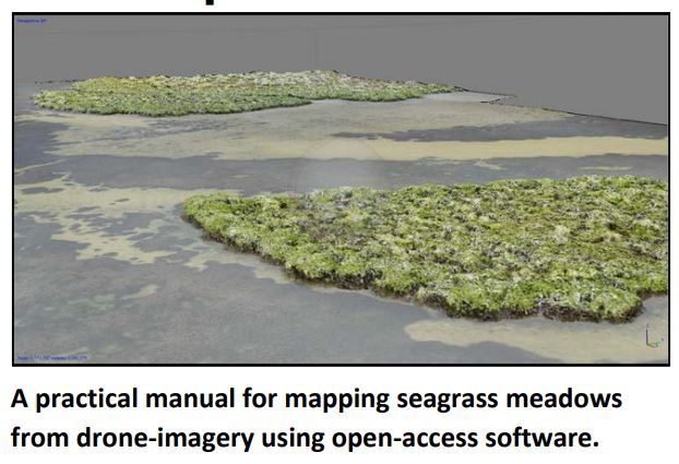
Report and Manual for Mapping Seagrass Meadows from Drone Imagery
Why Monitor Seagrass?
Seagrass helps improve river health by buffering river banks against erosion, improving water quality and providing habitats to estuarine fauna. Seagrass is a good indicator for assessing river health, as seagrass beds are sensitive to disturbance and degradation. In the Noosa River, there are two species of seagrassZostera capricorni and Halophila ovalis, the former being the dominant species.
NICA has coordinated the Noosa River Seagrass Monitoring Project since 2005 when a report suggested that periodic mapping of seagrass was a suitable method to determine the health of Noosa River’s ecosystem. Scientists at Seagrass Watch recommended that seagrass resources need to be studied over years rather than months for reliable results. Subsequently funding was obtained from Noosa Council to implement the monitoring project with the help of many volunteers. All data resulting from monitoring the Noosa River seagrass has been shared Seagrass Watch.
Seagrass Watch is an international scientific programme initiated in Australia in 1998, with its headquarters in Cairns. The programme aims to raise awareness on the state of health of nearshore seagrass ecosystems, through supporting community-based assessment and monitoring. Results of the programme also provides an early warning of major coastal environmental changes, from global trends in seagrass distribution and health to localized human impacts. To date, 26 countries have participated in Seagrass Watch.